
Hazelwood ZIP Code Directory Coverage
Hazelwood’s municipal footprint and its postal geography are not the same. The Census profile overlaps ZCTAs 63031, 63042, 63044, 63134, and 63135. A ZCTA is a Census approximation built from ZIP information, not a city, ward, or neighborhood boundary. The table therefore identifies geographic overlap and the verified USPS facility reference without claiming that every address in one of these ZIP areas lies inside Hazelwood.
| ZIP code | Areas covered | Post office reference | Hazelwood note |
|---|---|---|---|
| 63042 | Primary Hazelwood postal label, with wider postal and commercial geography | Hazelwood Post Office | Includes 63042-9998 facility and an alternate carrier-area facility |
| 63044 | Census-profile overlap with adjacent postal geography | Bridgeton Post Office | Validate the individual street through USPS |
| 63031 | Census-profile overlap at the city and ZCTA level | Carr Post Office, Florissant | Not every 63031 address is Hazelwood |
| 63134 | Overlap near adjacent postal geography | Berkeley facility reference | Confirm preferred postal city by street address |
| 63135 | Adjacent or cross-boundary postal geography | Ferguson Post Office | Check delivery route before assigning city context |
For a person or property question, the ZIP code directory gives orientation rather than a roster. A complete address may be physically in Hazelwood while its USPS preferred city differs, or it may carry a Hazelwood-area postal label while falling outside the city line. Preserve both fields in notes: municipality or physical city, and USPS preferred city with ZIP.
Hazelwood ZIP Code 63042 Details
ZIP code 63042 is the primary Hazelwood postal label in the research. The official USPS Hazelwood Post Office result identifies the facility at 6135 N Lindbergh Boulevard, Hazelwood, MO 63042-9998. The same USPS research surfaced an alternate “Hazelwood Bridgeton CA” facility at 5750 Phantom Drive, Hazelwood, MO 63042-9997. Facility names and carrier-area labels are postal reference points, not evidence that every nearby parcel shares the same city or delivery relationship.
See the USPS Hazelwood facility record for its current location details.
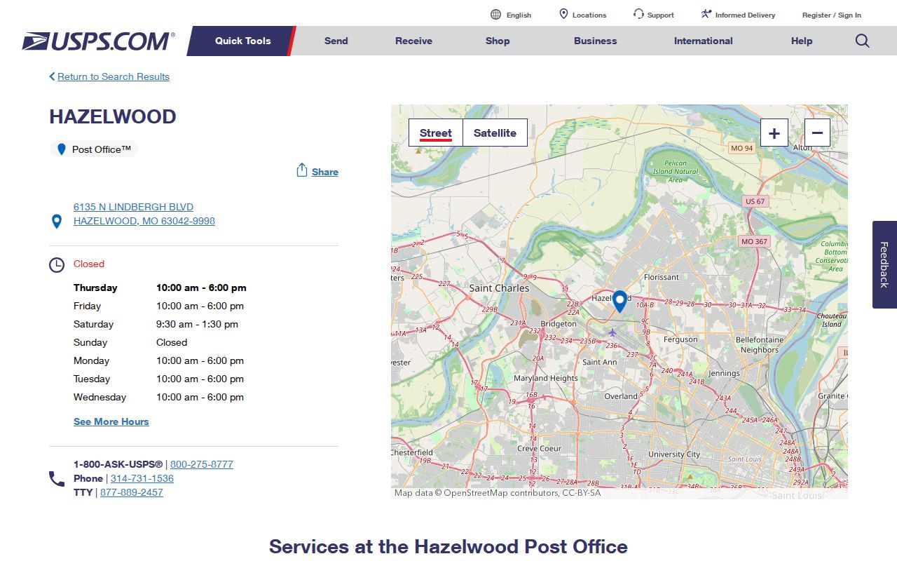
The facility result is a useful starting point for 63042 context, but an exact delivery ZIP still requires a street-address query.
Search Hazelwood by ZIP Code
A ZIP can narrow a records search, but it cannot identify current residents on its own. Begin with USPS to confirm delivery formatting. Then use the St. Louis County tax inquiry as a second check for a property address, keeping its Real Estate classification and result date visible. The County portal accepts a property number, owner name, or address, not a dedicated ZIP-only field. It returns year, number, name, address, and type, and can export result rows. That makes the address field a useful comparison tool after USPS confirmation.
- Enter the full street address in the USPS Find Locations tool or its address search path and retain the returned postal format.
- Search the same address in the St. Louis County property inquiry; use the Real Estate filter when the question concerns a parcel.
- Compare the tax result’s year, property number, owner field, and situs address with the postal result. An owner field is an assessment lead, not proof of occupancy.
- Use County GIS or the City ward and street maps for municipal geography, then record the map or parcel date.
- For an official voter-status question, use the narrow Secretary of State lookup only when the exact fields and lawful purpose fit.
Once a ZIP has narrowed the location to a street, the Hazelwood by-street directory follows the address and parcel record chain in more detail. Keep the ZIP as a geographic field rather than using it to join private records into a household list.
Note: A postal result verifies delivery formatting, while a parcel or ward record answers a different question about the address.
Use Hazelwood ZIP Lookup Controls
The official USPS Find Locations page supports a City and State or ZIP Code query, a Street Address field, and an alternate City or ZIP Code field. It can filter by location type, services, and distance. Search results can be sorted by distance or location type. Those controls locate facilities and services, so they are helpful for postal context but do not replace address validation or municipal boundary research.
| USPS control | Practical use |
|---|---|
| Street address | Use a complete address for the most specific location and service result. |
| City and state or ZIP code | Find nearby facilities when a full address is not needed. |
| Location type | Filter for post offices, retail locations, collection boxes, kiosks, and other listed types. |
| Service filters | Limit results by services such as hold mail, passport appointments, or PO Box support. |
| Distance and sort | Compare results within one, three, five, or ten miles and order them by the selected method. |
Open the USPS location-search page to see the current fields and facility filters.
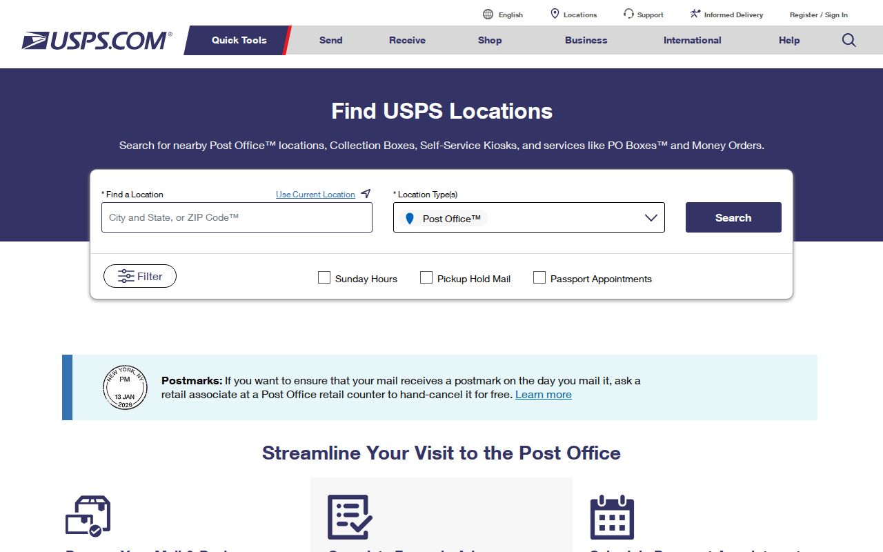
The visible filters show why a facility search is different from a parcel or city-boundary search.
Hazelwood ZIP Code Directory Overlaps
The four non-primary ZIP areas in the Hazelwood Census profile deserve separate treatment. Their inclusion signals overlap in statistical geography, not a blanket change in municipal identity. Validate a specific address before describing its postal city or using the result in a record request. This is especially important near 63134 and 63135, where the research calls for street-by-street confirmation rather than an assumption based on the ZIP alone.
The Carr Post Office result is the verified facility reference for the 63031 area.
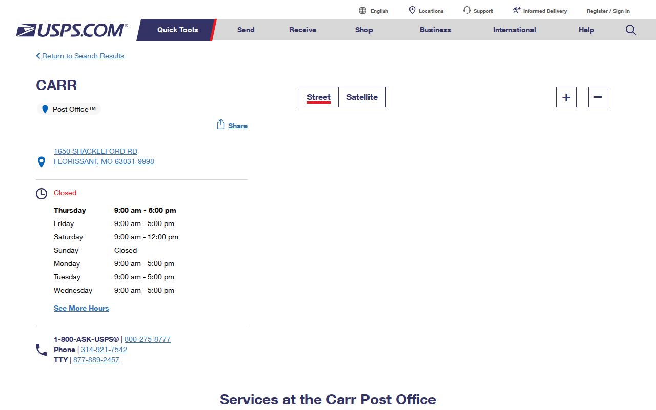
The Carr result provides a 63031-area reference, not a statement that all 63031 addresses belong to Hazelwood.
The Bridgeton Post Office result is the matching facility reference for 63044.
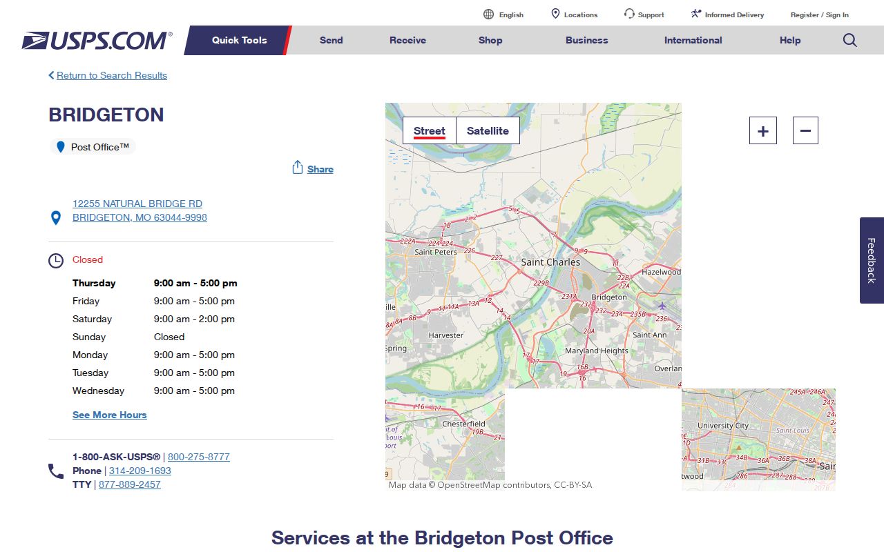
The 63044 facility record reinforces the need to retain both postal and municipal fields in a Hazelwood address note.
Compare Hazelwood ZIP Codes and City Limits
ZIP code boundaries, ZCTAs, city limits, wards, and parcel boundaries answer different geographic questions. The official Census Hazelwood incorporated-place boundary map should be read with the City Ward Map and Street Map, but none should be called a ZIP map. A road can also place close addresses in different city, ward, ZIP, or parcel contexts. Record the street number and side of the road when a boundary matters.
- ZIP code
- A postal delivery code used by USPS. It can cross municipal or neighborhood lines.
- ZIP+4
- An added four-digit segment that helps USPS sort delivery more precisely; it is not a city-boundary identifier.
- PO Box ZIP
- A postal code tied to box delivery or postal operations, which does not establish a physical-address geography.
- Unique ZIP
- A ZIP assigned for a specific organization or high-volume delivery purpose, distinct from a general neighborhood boundary.
- Carrier route
- A postal delivery sequence used to organize mail, not a legal parcel or municipality line.
Hazelwood’s location near major roads, airport-area geography, and neighboring postal areas helps explain why city, postal, Census, and County labels can differ. The right response to a mismatch is to retain the competing source dates and verify the full address, not to overwrite an older source with the modern city name.
Check Hazelwood ZIP Code Crossovers
USPS results in the research identify the Florissant-area result for 63031, a Bridgeton result for 63044, a Berkeley facility reference for 63134, and a Ferguson result for 63135. These are useful practical reference points for a Hazelwood ZIP code directory, yet they do not identify a resident or establish a property’s municipal status. A full USPS result should come first when preparing a city request, property inquiry, or family-history note.
Review the USPS Florissant nearby-facility result for the 63134-area reference surfaced in the research.
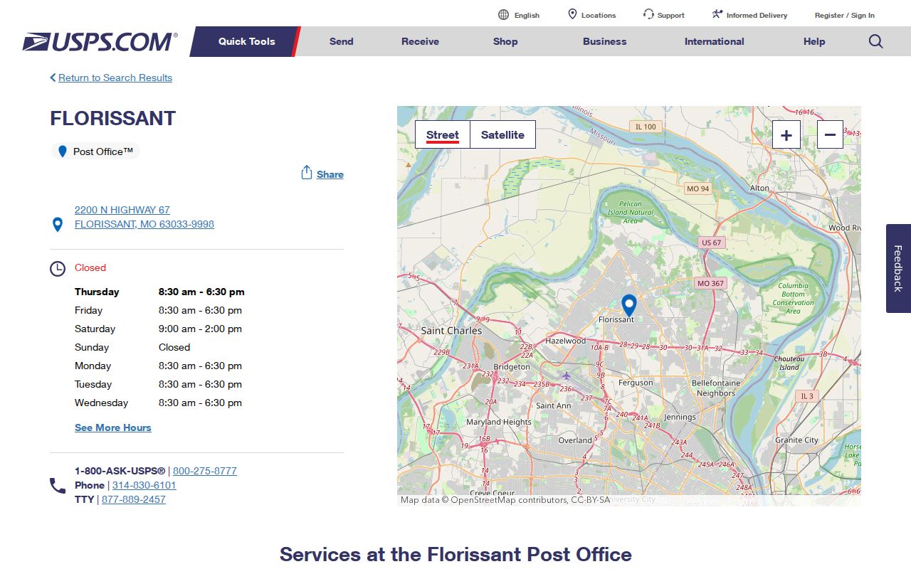
The nearby-facility display illustrates why a ZIP-area result is context, not a precise municipal boundary.
Review the USPS Ferguson Post Office result for the verified 63135 facility reference.
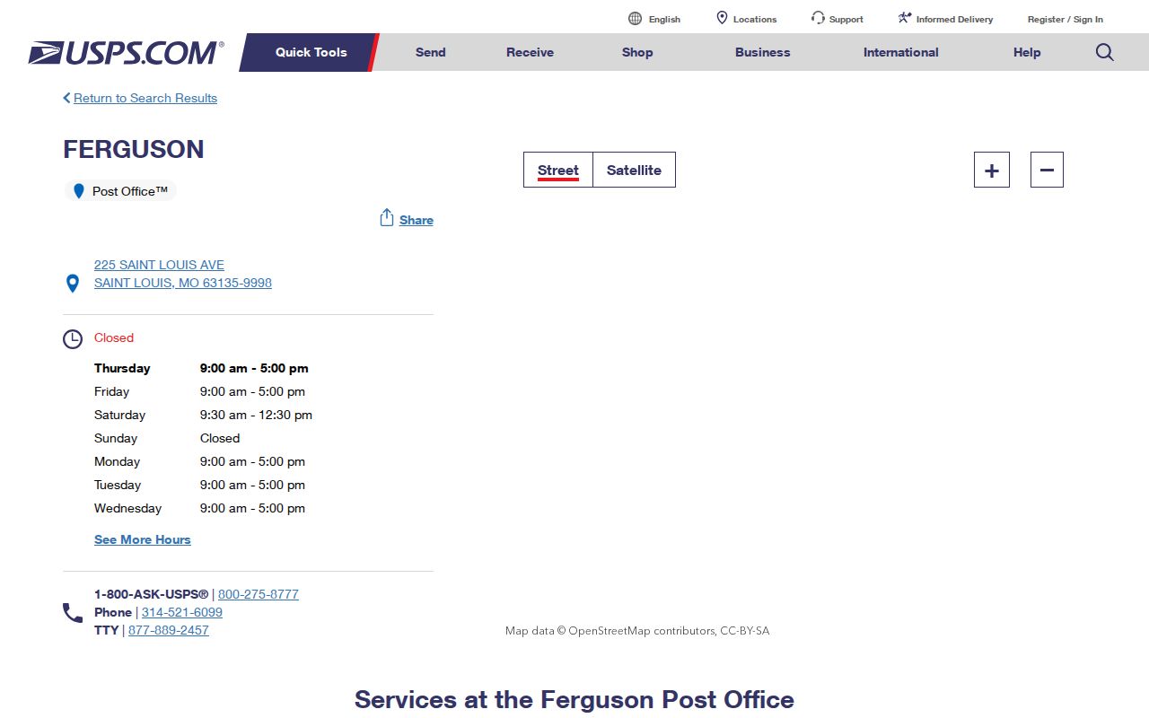
The Ferguson reference supports an address-by-address check for the 63135 overlap rather than a ZIP-wide conclusion.
Read Hazelwood Postal Labels by Date
Historical postal labels are not fixed municipal descriptions. USPS material notes destination-label context for the 63042, 63044, and 63045 group, including a 2019 change involving 63043. The research does not support a single historic ZIP assignment for every Hazelwood street, so a dated directory, old deed, Census source, or postal result should retain the label it used. That is especially helpful when an older county directory describes an area before today’s city boundary or preferred postal-city label.
The County tax inquiry can serve as a second address comparison because it returns year, property number, name, address, and type. It does not provide a postal route or guarantee delivery. For a historic address, pair it with a dated directory, Recorder instrument, or Census geography before deciding whether two address forms describe the same place.
Note: Record the exact USPS format, Census boundary year, and parcel date whenever a ZIP code is used to compare sources.
Keep Hazelwood ZIP Searches Narrow
A ZIP code directory can help a researcher choose the right postal, city, and county source without exposing a person’s private details. Missouri voter records have special access rules, and protected voter addresses may be closed or substituted. County property data can show an assessment owner or mailing field, but it does not show an occupant. USPS delivery information also should not be used to assemble a private household list.
Use address research for a defined civic, property, or family-history question. If a record is protected or the purpose shifts toward monitoring someone, stop and use only the relevant official custodian. The City GIS and County GIS can answer street, ward, parcel, and boundary questions without adding personal contact information.