
Hazelwood Neighbors by Block Source
“Neighbor” can mean an adjacent parcel, a nearby street address, the same subdivision, a ward, or a postal area. Those are different relationships. The safe Hazelwood neighbors result is geographic: a parcel identifier, selected map layer, ward or district, and source date. County records can add an assessment owner or a recorded legal description, but neither proves who occupies a property. Use the source that fits the question and avoid combining unrelated records into a household profile.
| Source | What it shows about a block | Access |
|---|---|---|
| St. Louis County Property Lookup | Parcel polygons, identifiers, assessment owner, land use, value, and district overlays | Free map, controls can change |
| County tax inquiry | Address, name, property number, year, type, retired status, and export rows | Free search and CSV export |
| Hazelwood GIS maps | Street, ward, and zoning context | City maps and custom-map contact |
| USPS address tools | Postal city, ZIP, and facility or service context | Free, full address works best |
| SLCL directory material | Historical name, address, phone, or business entries by edition | Digital scan, microfilm, or library request |
| Recorder plats and deeds | Legal description, subdivision clues, grantor, grantee, and recorded trail | Office or copy request, with fees |
The source date matters. Parcel data can change after reassessment, subdivision, correction, retirement, or map maintenance. A historical directory, a 1950 Census record, a current parcel layer, and a ward map may each describe a different time and different geographic relationship. Keep that difference visible in any family-history or civic note.
Define Hazelwood Neighbors Geographically
An adjacent parcel shares a boundary or lies immediately nearby on the mapped layer. It is not automatically the lot across a road, the same postal route, or a shared household. The St. Louis County GIS viewer can show parcel boundary, owner, land use, value, and school, fire, council, or other jurisdiction information. The City street, ward, and zoning maps add context, but a ward boundary does not show ownership and a zoning designation does not show occupancy.
- Parcel
- A defined piece of land tracked by a local property system, often with a locator or property number.
- Situs address
- The physical location used to identify the parcel. It can differ from the owner’s mailing address.
- Plat
- A recorded map that can show lots, subdivisions, streets, and other legal layout details.
- Adjacent parcel
- A parcel that touches a selected boundary or meets the map’s nearby geographic test, not a statement about a personal relationship.
Hazelwood’s postal and municipal boundaries can also diverge. A nearby address may have a different ZIP, ward, or municipal label. Validate the street number and preserve whether the map shows a road, alley, stream, or other separation before treating two polygons as directly adjacent.
Note: Map proximity describes geography, not who lives next door or whether two people have a connection.
Map a Hazelwood Block Safely
The County GIS and tax inquiry provide a measured way to look at the physical block around one address. Start with address validation, then choose the actual parcel polygon rather than a loose map label. The process should stop at geographic context unless a separate lawful custodian record is needed for a defined property or historical question. An assessment owner field is one dated role and should never be relabeled as a resident.
- Validate the address through USPS and the County tax inquiry, then save the returned postal and source-date context.
- Open the County Property Lookup and select the parcel polygon. Record its identifier, situs, and visible land-use or district fields.
- Identify polygons sharing a boundary or immediately nearby. Note any road, alley, stream, or unplatted gap before calling them adjacent.
- Compare City street, ward, or zoning maps and the visible district overlays for civic context.
- If a legal boundary or history matters, request the relevant plat or deed and compare its legal description with the GIS polygon.
The process is address to validated postal format to selected parcel to adjacent polygons to district overlay to plat or deed when needed. For a whole named street rather than an immediate block, the Hazelwood by-street directory uses the broader address-record trail.
Read Hazelwood Parcel Layers by Date
The County property viewer’s official data description includes parcel boundaries, owner, land use, value, and jurisdictional, school, fire, and council-district information. The complete live control labels and result-panel order were not captured during research, so the useful approach is to record only fields actually visible in the current result. County GIS, at 41 South Central Avenue in Clayton, is the contact point when a map result and a legal record do not agree.
| Visible map element | How to handle it |
|---|---|
| Parcel polygon and identifier | Use them to cross-reference the tax inquiry or Recorder request. |
| Owner field | Treat it as assessment data and confirm title through the Recorder. |
| Land use and value | Keep the displayed year and avoid assuming a cached value is current. |
| School, fire, and council overlays | Use them for jurisdictional context, not personal identification. |
| Retired parcel | Keep it visible for historical work, since a later split can change the modern parcel shape. |
A GIS result and Recorder document can diverge because of a subdivision, parcel retirement, map correction, or different update dates. Preserve both dates and ask County GIS or the Recorder rather than selecting the easier result. That creates a better Hazelwood neighbors note than a map-only conclusion.
Hazelwood Neighbor Civic Resources
Hazelwood has official civic resources that offer public meeting and map context without acting as private-resident directories. The City’s Neighborhood Watch is a community crime-prevention program, not a roster. The Neighborhood Watch Commission meets on the second Monday of each month at 6:00 p.m. at the Police Department, and its membership has residency and registered-voter requirements. Use the public page for meetings, reporting, and civic participation, not to infer membership from an address.
Neighborhood Watch
Official city program for safety education, reporting, and community routines. It is not a household list.
City GIS Department
Maintains Street, Ward, and Zoning maps and accepts custom-map requests for unresolved map questions.
Planning and preservation
Public boards and planning materials can add land-use, historic-place, and meeting context for a block.
Open the Hazelwood Neighborhood Watch Commission page for the city’s public program details.
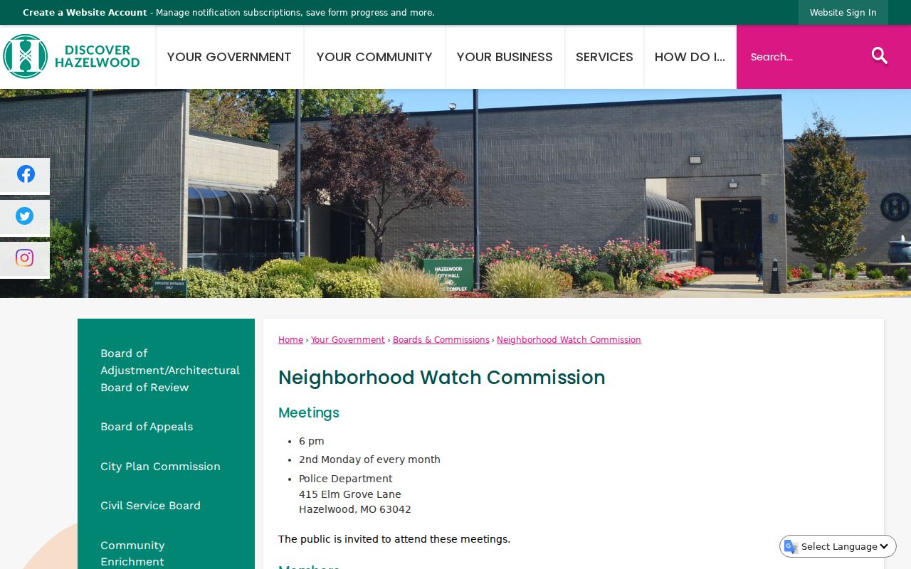
The public city page supports civic participation and safety education without disclosing private resident information.
Use Hazelwood Voter Geography Carefully
Missouri law treats some voter information as public, including name, year of birth, address, township, ward, precinct, and district fields under RSMo §115.157, while other rules protect addresses for eligible people. For a block question, precinct, ward, and district information is the useful output. It helps describe civic geography without publishing an individual row, date of birth, or voter identifier. The statewide lookup and St. Louis County’s paid election-file request answer different questions and should not be presented as an unrestricted neighborhood download.
View the Missouri voter-record statute for the public-field rule and its limits.
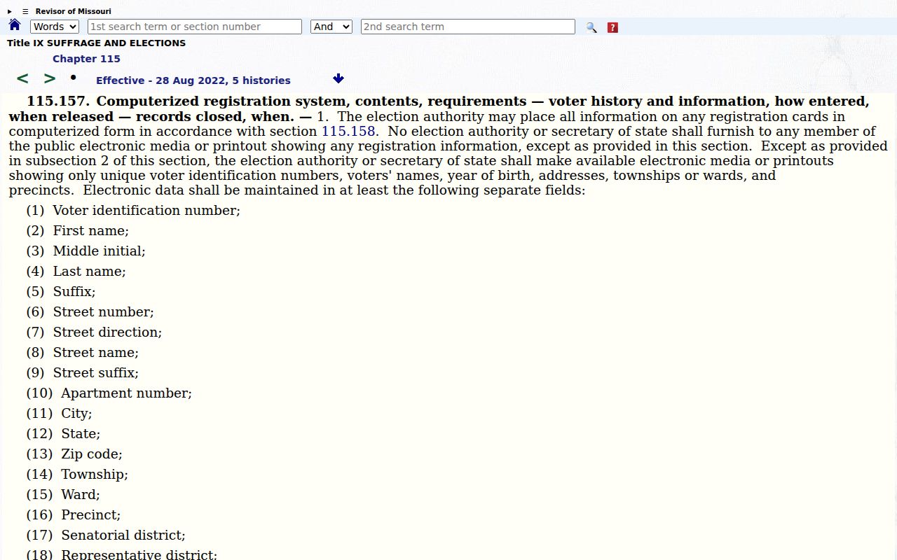
The statute is a reminder that public election geography is not permission to republish a full block-level personal record.
Compare Hazelwood Neighbor Sources
Official records answer limited, dated questions. Commercial neighbor-search tools often combine old addresses, marketing data, and unverified associations into a broad profile. The difference matters most on a block, where a map can show lots but cannot identify a current household. Use official sources for their stated record role and ask the custodian when a document or boundary needs confirmation.
| Source type | Strength | Limit |
|---|---|---|
| County GIS and tax inquiry | Parcel, assessment, and mapped district context | Owner field is not occupant data; values and shapes are dated |
| Recorder plat or deed | Legal description and recorded instrument trail | Needs document context; not every instrument conveys title |
| City ward and street maps | Civic geography and street orientation | Do not show private household membership |
| Commercial compiled tools | May suggest leads to verify | Can be stale, incomplete, or wrongly joined; do not treat as official evidence |
Hazelwood’s first Board meeting took place at Elm Grove Schoolhouse in 1949, and the city later moved its City Hall to the Elm Grove site in 1984. Those milestones can help explain an old civic label or record location, but they do not redraw a modern parcel. Historical and current block evidence should remain dated layers.
Protect Hazelwood Neighbor Information
RSMo §115.163 addresses precinct-register inspection and protected voter addresses. Safe at Home can also provide an eligible survivor a substitute address for covered government and court transactions. A missing or substituted result can be an intentional safety control, not evidence that a person is absent from the community. Court records, police material, and vital records have their own restrictions as well.
Read the Missouri precinct-register provision for the protected-address context.
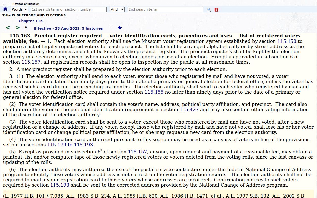
The protected-address rule is one reason a responsible block search reports geographic context instead of an individual household list.
Private neighborhood groups are another limit. The research found no complete official directory of private Hazelwood neighborhood associations. Do not infer a group from an address or a social profile. For a public association question, use the City Boards and Commissions, Neighborhood Watch, Planning, or a public meeting agenda.
Note: When an official source withholds a name or address, record the privacy limit and stop rather than trying to reconstruct the information elsewhere.