
Hazelwood Previous Residents Sources
A backward address trail uses a different source for each era and role. Recorded instruments speak to transfers and legal descriptions. County directories and Census material provide dated household or address snapshots. The current tax and GIS layers help tie an old street number to a parcel, but they are modern assessment tools rather than proof of occupancy. Record the address exactly as each source prints it, including an older County or postal label.
| Source | Years It Covers | Where Held | What It Shows |
|---|---|---|---|
| St. Louis County directories | 1893-1979, with documented gaps | SLCL digital archive, print, microfilm, and microfiche | Dated name and address snapshots, subject to edition coverage |
| Federal Census | 1950 public; later releases follow the 72-year rule | Census and NARA routes | Household, relationship, age, and address geography |
| County deeds | 1877-1931 library bridge; broader Recorder public records vary by access route | SLCL PastPorts, FamilySearch, and Recorder | Grantor, grantee, legal description, and instrument trail |
| Property ownership index | 1974-1992 | SLCL History & Genealogy and PastPorts | Historical ownership lead that needs deed confirmation |
| Hazelwood history index | 1992 publication | SLCL History & Genealogy | City people, topics, pages, photographs, and boundary context |
The St. Louis County Recorder of Deeds is the legal-record custodian for the recorded-instrument part of the trail. The office page pictured below directs public research to the Recorder rather than promising that every historical document is fully searchable online.
Use the source year to decide whether a result is a recorded transfer, a historical household snapshot, or only current parcel context.
Hazelwood Previous Residents Start Here
Start with a historical address, not a surname. Search the St. Louis County quick property inquiry by address, owner name, or property number, choose the real-estate filter when appropriate, and leave the retired-record option clear for an older parcel lead. Record the displayed year, property number, name, address, and type. Then use the parcel or legal-description clue to connect the address to GIS and Recorder research.
A mailing address can differ from the parcel's situs address. It may be an owner's correspondence address, a tax-bill destination, or a business or agent address. That difference is a reason to label the source role, not evidence that someone lived at either address. The County GIS Property Lookup adds parcel boundaries, land use, value, and district layers, but its map proximity cannot prove a household connection.
For an old street label, compare a plat, deed, directory, Census geography, and City Clerk or GIS record before trying to match it to a modern parcel. Hazelwood's street-name-change process requires a petition, affected-party notice, fee or deposit, hearing, and mailed notice. Research did not confirm a historic Hazelwood renumbering list, so an address change should remain unresolved until a dated source supports it.
Hazelwood Previous Residents Deed Trail
Trace past owners through a Recorder chain of title, which is the sequence of recorded transfers affecting the parcel. An assessment owner is a lead. Title confirmation comes from the recorded instrument and its legal description. Preserve each link as confirmed, indexed-only, or unresolved because a chain can break at a subdivision, probate, name change, unrecorded transfer, misspelling, or unavailable image.
- Capture the current or historical address, parcel or locator number, and legal description from the County property and GIS sources.
- Use the owner name, approximate purchase date, address, document type, Recorder book and page, or document number to request the located instrument.
- Read the instrument type and recording date. Identify its grantor and grantee, then preserve the prior grantor or deed reference.
- Search backward through the prior owner or reference, repeating the process for each recorded transfer.
- When the trail reaches a trust, estate, or company, follow that entity through the Recorder and appropriate probate, court, or library source.
The Recorder deed-copy order form provides the documented fallback when a live search screen is not available. Its captured form is shown below and asks for an address, owner names, approximate purchase date, instrument type, book and page or document number, copy count, certification choice, and return contact details.
The form lists $2 for the first page, $1 for each additional page, $1 for certification, and tiered postage, so request only the instruments needed to test the next link.
- Grantor and grantee
- The grantor is the party transferring an interest in an instrument; the grantee is the party receiving the stated interest.
- Chain of title
- A dated sequence of recorded instruments used to trace interests in the same parcel. It is not a claim that every listed party occupied the address.
- Legal description
- The lot, subdivision, metes-and-bounds, or other formal parcel description used to match property when a street address changes.
Hazelwood Recorder Instrument Types
Read the document label before describing anyone as an owner. A grantor-grantee trail can lead to a deed, deed of trust, release, easement, plat, or lien. A deed of trust or release can explain financing. A plat can explain how a lot was created. An easement can explain access. None of those records automatically tells who lived there. A small wording choice, such as calling a party a grantee rather than a resident, protects the accuracy of the address history.
Recorder book and page means the Recorder's book and page, not an Assessor book and page. Keep it separate from a tax property number or GIS parcel identifier. The Recorder's public research statement supports use of recorded documents, but the unattended research could not confirm a live grantor-grantee search screen, its fields, its earliest online coverage, or unrestricted image access. The copy form or Recorder office is the documented alternative.
Note: A book-page reference only has meaning when its office, instrument type, and recording date are recorded with it.
Hazelwood PastPorts House History
SLCL PastPorts connects land and house research with deeds, property ownership indexes, boundary changes, and historic-house questions. The library reports St. Louis County deed records from 1877 to 1931 and a property ownership index from 1974 to 1992. FamilySearch also includes St. Louis County deeds from 1877 to 1886. These are bridge sources, especially when a County search route is difficult to use, but they should be checked against an actual Recorder instrument.
The SLCL PastPorts land and house-history resource appears below. It is the right library route for a parcel, boundary, and deed question, rather than an automatic roster of former households.
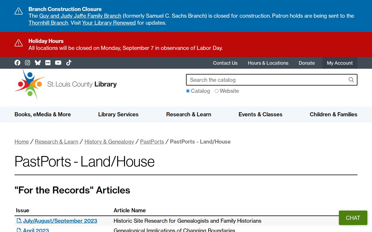
Pinning the address to its legal parcel before comparing directory and deed dates reduces the risk of following a similar street number in the wrong subdivision.
Clark Family Branch opened in July 2024 with the Emerson History & Genealogy Center, a Memory Lab, digitization room, six FamilySearch screens, and about 125,000 items. That recent local research option is useful when a directory citation, family paper, or property document needs close inspection.
Hazelwood Previous Residents in Directories
Owners are only one part of an address history. County directories can show a dated name and address line, while a street-address or criss-cross section, if one exists for that edition, can offer another route to the same address. Search the SLCL scan by address first, browse the street or address pages when available, and ask History & Genealogy about a reverse volume for the chosen year. No digitized Hazelwood-specific criss-cross volume was confirmed in the research.
Directory holdings include editions from 1893 through 1979 with gaps and mixed media. Browse page images when OCR misses a surname or abbreviation. The historical shelf, collection years, and entry-reading rules are covered in the Hazelwood city directory collections resource. For a backward trail, use those volumes as dated household evidence rather than as a modern address list.
- Choose directory editions before and after a deed or known address event.
- Record the name exactly as printed, the page or image, the address form, and the year.
- Compare the nearest released Census record for household relationships and geographic context.
- Use an obituary or newspaper citation to investigate a move, death, or name change.
- Mark a conflict instead of forcing a directory entry to match a deed party.
Hazelwood Census Household Check
The Census 72-year rule releases historical decennial records on a staggered schedule. The 1950 Census became public on April 1, 2022, and 1960 is scheduled for 2032. A released record can add age, sex, relationship, birthplace, marital status, and address geography to an address trail. It does not supply Social Security numbers, and it should not be used to publish a current household profile.
The Census explanation of the 72-year rule is shown here. It gives the release framework needed to distinguish a public historical schedule from an unavailable later one.
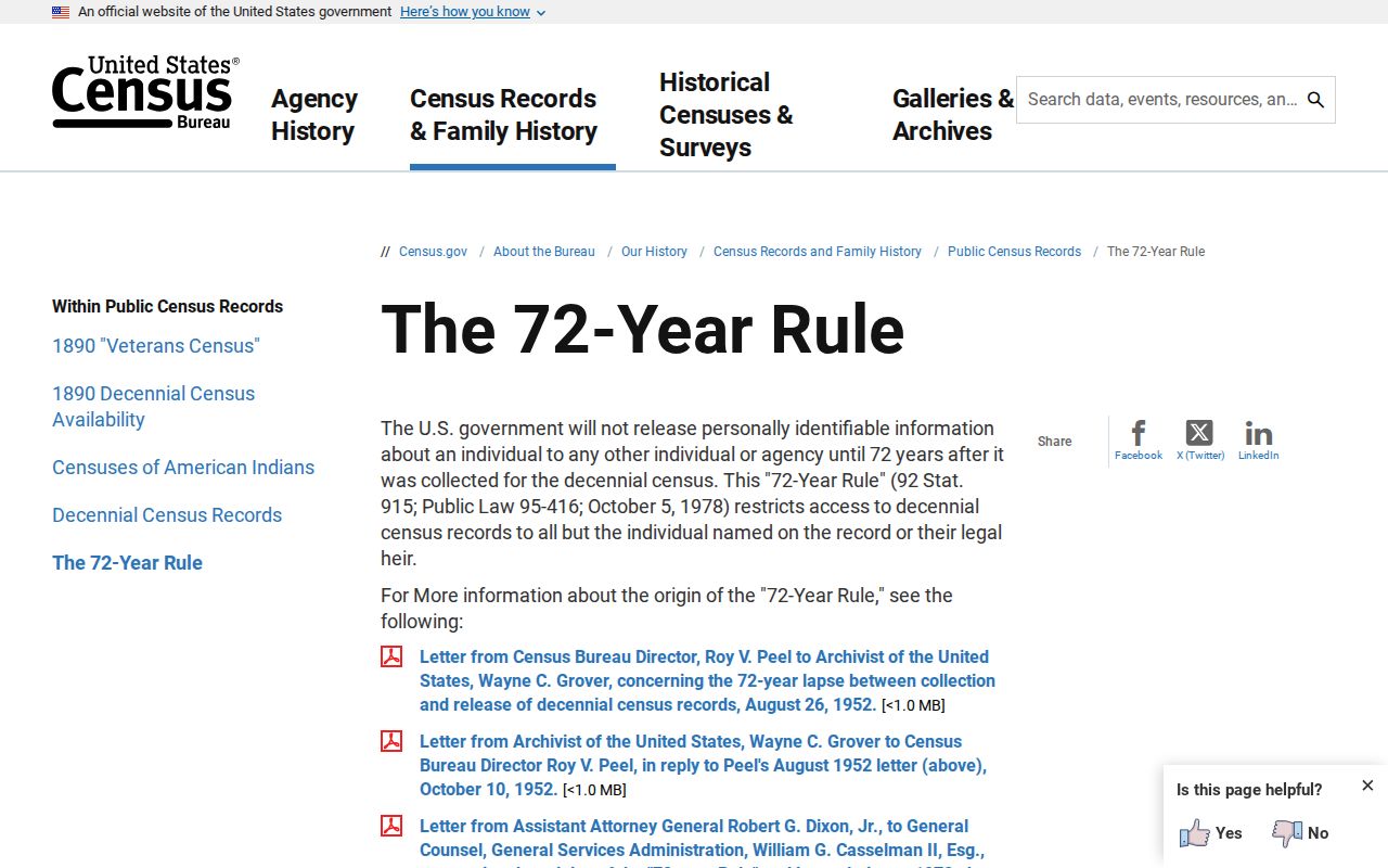
Keep the enumeration geography and release year beside the directory and deed dates, especially where a historical source uses a County or postal label instead of Hazelwood.
Hazelwood Previous Residents Map Gap
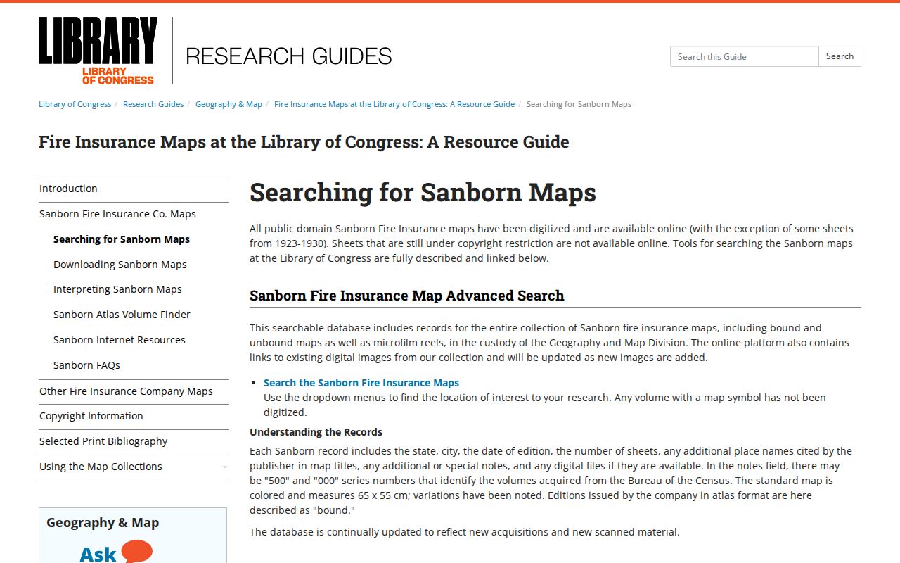
Fire-insurance maps can help a house-history researcher understand buildings, blocks, and date ranges, but no Hazelwood-specific Library of Congress Sanborn volume was found. The Library of Congress has a St. Louis city item dated 1909 through February 1951 with 129 sheets. It must not be presented as a map of Hazelwood. A map catalog result needs the right city, date, and sheet before it belongs in an address trail.
The Library of Congress Sanborn search guide is pictured below. It explains how to investigate map coverage without filling an unverified Hazelwood gap with a nearby-city item.
Where no matching map is located, deeds, plats, directories, Census geography, and City or County map sources remain the documented address-history route.
Hazelwood Previous Residents Place Changes
Place names and boundaries need dates. Hazelwood farmers organized in 1944 in response to possible Florissant annexation, the village incorporated in 1949, and the charter became effective in 1970. The city later experienced annexations. An older directory may therefore call the same area unincorporated, County, or a different postal place. Do not rewrite that source with a current city label without a record that connects the two.
Use a current Census boundary reference, old plats, directory place labels, and City Clerk or GIS records together. City GIS maintains street, ward, and zoning maps and accepts custom-map requests for a historical boundary or neighborhood question. A modern ward or ZIP is orientation, not historical proof.
Hazelwood Previous Residents Confidence Labels
Give every address finding a clear status. Confirmed image or certified record means a dated record or copy was inspected. Indexed match means an official or library index returned a name or address but the image was not reviewed. Corroborated means two independent dated sources agree. Context only describes a city, boundary, or facility without naming a resident. Unresolved means the sources conflict or the old address cannot yet be matched to a modern parcel.
A useful three-source check pairs a directory or Census source for historical presence with Recorder, Assessor, or GIS material for property and address, then a City Clerk, court, or vital-record route for the specific civic event. A disagreement is a reason to investigate dates and roles, not permission to select the most convenient result.
Lawful use. Use Hazelwood past-resident research for family history, estate and heir questions, property history, civic context, or personal curiosity. Do not use dated address records to stalk, harass, or harm anyone, and do not try to infer a protected current address.