
Trace a Hazelwood Street Directory From Address to Record
Street research works best as a chain, not as a search for a ready-made list of people. First validate the address and locate its county parcel. Then compare the tax result, GIS polygon, Recorder clues, and any dated directory entry. The sources can establish property, municipal, postal, or historical facts, but each one has a different date and purpose.
Keep the address exactly as entered, including its street type and unit where relevant, while also trying the alternate form requested by a particular database. The workflow below preserves the county and city fallbacks rather than assuming every answer is in one web interface.
- Search the St. Louis County property inquiry by address, owner name, or property number. Save the year, returned property number, name, address, and type.
- Open the address in the County Property Lookup. Select the parcel polygon and note the visible boundary, land-use, value, and district context.
- Use the property number, legal description, owner clue, or approximate date on the Recorder's copy-order form. Request the instrument or office research needed to test a deed, plat, release, or lien reference.
- For a current election question, use Missouri's official voter lookup only for its limited lawful purpose. The form wants the street name without the street type and may yield a protected or exact-match-limited result.
- For a past address, compare at least two St. Louis County directory years and a map or deed source. If a city street label remains unresolved, ask the City Clerk or GIS Department for the relevant record or map route.
Note: The chain is strongest when each source agrees on the address, date, parcel or legal description, rather than merely sharing a surname.
Hazelwood Street Directory Property Inquiry Fields
The County property inquiry is the most practical entry for a Hazelwood address trail. Its search box accepts Property Number, Owner Name, or Address, and the filters distinguish All, Real Estate, and Personal Property. It also offers a Hide Retired checkbox, a Search control, result pagination, and CSV export. The result grid shows year, number, name, address, and type.
| Field or control | Street-research use | Result or caution |
|---|---|---|
| Property Number, Owner Name, or Address | Use the best address, parcel, or assessment-owner clue. | A search value is needed; partial address matching can vary. |
| All, Real Estate, Personal Property | Choose Real Estate for a parcel-focused search. | The classification narrows the returned set. |
| Hide Retired | Keep it clear for an older address or changed parcel. | A retired record can still be a historical lead. |
| Year, Number, Name, Address, Type | Preserve those fields with the date checked. | They support the next Recorder or GIS step, not an occupancy conclusion. |
| CSV export and pagination | Save a small, date-labeled comparison set. | Do not turn returned rows into a public block list. |
An assessment name can be different from the mailing address or the physical situs. Treat it as a role-specific tax record. The Recorder's legal description and recorded instrument are the appropriate next checks when a title or historic ownership question matters.
Hazelwood Parcels, GIS, and City Map Layers
The county GIS viewer adds the spatial layer that a tax row cannot supply. Its documented parcel information includes boundary, owner, land use, value, and school, fire, council, or other jurisdiction overlays. The complete live map-control labels were not captured during research, so the map should be checked live before relying on a particular export or popup feature.
Hazelwood GIS maintains Street, Ward, and Zoning maps and accepts custom-map requests. Those city maps describe street layout and civic geography, while the county viewer describes parcel geography. A ward line, zoning layer, or nearby polygon does not establish a shared household, a legal title, or an individual's presence.
The official St. Louis County parcel FeatureServer documents the parcel-data service used for address research.
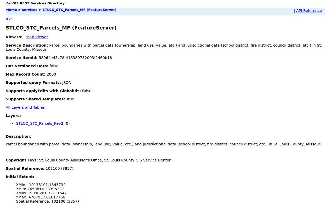
Use the selected parcel identifier to cross-check the property inquiry and Recorder request. If a map and a deed conflict, record the dates shown by both sources and ask the Recorder or GIS office rather than choosing the more convenient result.
Hazelwood Street Directory Record Chain by Address
Address-keyed records form a chain because they describe different parts of the same place. The county inquiry identifies the assessment lead. GIS locates the mapped parcel. The Recorder provides the legal-document trail. City files can document a construction, inspection, code, or public-record event. Historical directories add time-sliced name and address context when a suitable edition exists.
| Address record set | What it can show | Hazelwood access route | Limit to retain |
|---|---|---|---|
| County property inquiry | Assessment name, parcel or property number, situs, year, type | Free search and CSV export | Assessment owner is not a present-occupancy finding |
| County GIS parcel layer | Boundary, identifier, land use, value, district overlays | Free map and FeatureServer | Map proximity is not title or personal-relationship proof |
| Recorder deed or instrument | Grantor, grantee, type, recording date, legal description, book or page | Recorder office or copy-order form | Instrument type and image must be checked |
| City permit or inspection | Construction address, owner or agent, project and inspection event | Building and Code route or City request | Project role is not a current-person listing |
| County directory edition | Dated name, address, phone, or business context by volume | Digital archive, microfilm, or library lookup | OCR gaps and edition dates matter |
| USPS validation | Deliverable postal format, city, ZIP, facility context | USPS address and location tools | Postal geography is not the city boundary |
For individual verification rather than a street trail, the Hazelwood resident lookup keeps the name, court, voter, and vital-record workflow separate from this address-first approach.
Recorder Book and Page in the Hazelwood Street Directory
Recorder research turns a tax or map lead into a legal-document question. The St. Louis County Recorder records real-estate instruments, subdivisions, and tax liens, and its official page states that recorded documents are available for public research. A requested deed can identify grantor and grantee, document type, recording date, legal description, book or page, and related recorded references where shown.
The online Recorder interface and its live search fields were not verified during unattended research. Use the official deed-copy order form as the documented fallback. It asks for property address, owner names, approximate purchase date, instrument type, Recorder book and page or document number, copy choice, and return contact. The form lists $2 for the first page, $1 for each additional page, $1 certification, and tiered postage.
- Parcel
- A county-mapped land unit that connects an address to assessment and GIS information.
- Situs address
- The physical location associated with the parcel, which can differ from an owner's correspondence address.
- Plat
- A recorded map or subdivision document that can explain lot creation, streets, and legal boundaries.
- Criss-cross directory
- An address-first directory arrangement used to locate historical entries by street when a matching volume exists.
- Recorder book and page
- A Recorder citation for a recorded instrument, not the property or parcel number used by the Assessor.
That last distinction is an important Hazelwood research safeguard. A book-and-page mismatch can send a request to the wrong source even when the street address is correct.
Hazelwood Permits and Inspections as Address Evidence
Hazelwood Building and Code Enforcement records can add a municipal event to an address trail. The city building-permit application records the construction address, owner or agent, contractor, project description, cost, plan, and inspection information. It was revised September 12, 2024. An occupancy inspection or code record should be described as an inspection or compliance event, not as a list of private people.
The Building Department and Code Enforcement page is the official access point for these records.
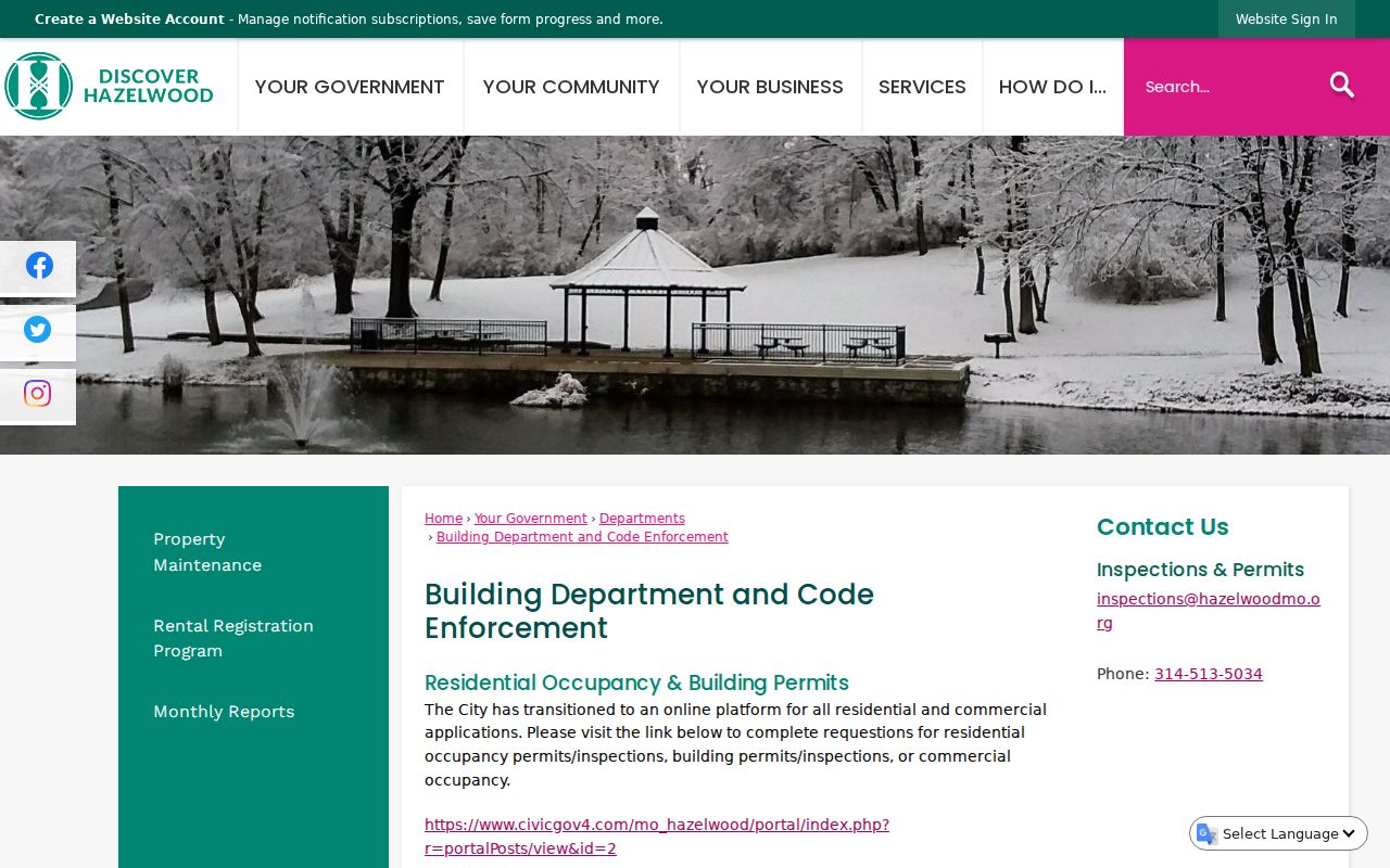
When a web route does not show the needed document, identify the street, date span, and record series in a City Clerk request. This supplies an inspection or permit path without amplifying sensitive address details.
Hazelwood Street Names, Boundaries, and Old City Labels
A street can retain its physical route while its city, postal, ward, or legal context changes. Hazelwood's code provides a process for a street-name change that includes a Public Works petition, notice to affected parties, fee or deposit, hearing, and mailed notice. Research did not identify a verified historical renumbering list, so a changed name should be tested against a deed, plat, directory, old map, or City Clerk record rather than assumed.
Hazelwood incorporated in 1949 after local farmers organized against Florissant annexation in 1944. The first Board met at Elm Grove Schoolhouse in September 1949; the charter became effective in 1970. A directory predating those milestones can legitimately use a county, unincorporated, or postal label for the same physical area. The current Census boundary and city maps should not be projected backward onto an older address.
Hazelwood Postal Checks Before a Street Search
Hazelwood's municipal limits and postal geography do not coincide. The Census profile overlaps ZCTAs 63031, 63042, 63044, 63134, and 63135, yet a ZCTA is a statistical approximation rather than a city boundary. A valid 63042 address commonly uses Hazelwood as its postal city, while overlap addresses in the other listed areas need an exact street-level USPS check.
Use USPS with the full street address, city, and state as the final authority for delivery formatting. The County tax search can then compare the parcel situs with that postal result. The Hazelwood Post Office is at 6135 N Lindbergh Blvd, but a facility reference does not prove the service route for every address in its area.
Note: Preserve municipality, USPS preferred city and ZIP, parcel date, and source date as separate fields when a street sits near a city or postal boundary.
Hazelwood Historical Street Snapshots
For an earlier address, St. Louis County directories offer the dated snapshot that current tax and GIS tools cannot. Library holdings begin with an 1893 documented edition and extend through 1979 with gaps. A directory may show name, address, phone, spouse or widow notation, organization, or business context depending on its edition. Browse the scan after a text search because OCR may omit the relevant line.
SLCL PastPorts reports County deeds from 1877 through 1931 and a property ownership index for 1974 through 1992. Compare those bridges to a Recorder instrument and released Census geography, keeping each year visible. The Hazelwood city directories page explains the library collections in depth, rather than repeating the full historical shelf here.
A useful historical chain is address, parcel or plat, Recorder document, two directory editions, then Census or library context. If the chain stops at a trust, estate, company, or unresolved old label, say so rather than forcing the address into a person profile.
What a Hazelwood Street Directory Cannot Establish
No address source proves every person at a location. An assessment owner, mailing address, permit applicant, voter record, directory entry, court party, and deed grantee are distinct roles. A result may be historic, may reflect a mailing destination, or may be limited by confidentiality. A map can show adjacent parcels, but it cannot prove that people are connected or present.
Safe at Home, confidential voter addresses, sealed court material, protected victims, and redacted police records are limits to respect. Missouri's driver-record data is also restricted. If an official source does not show a protected location, do not attempt to infer it from neighboring parcels, voter outputs, or a sequence of address records.